
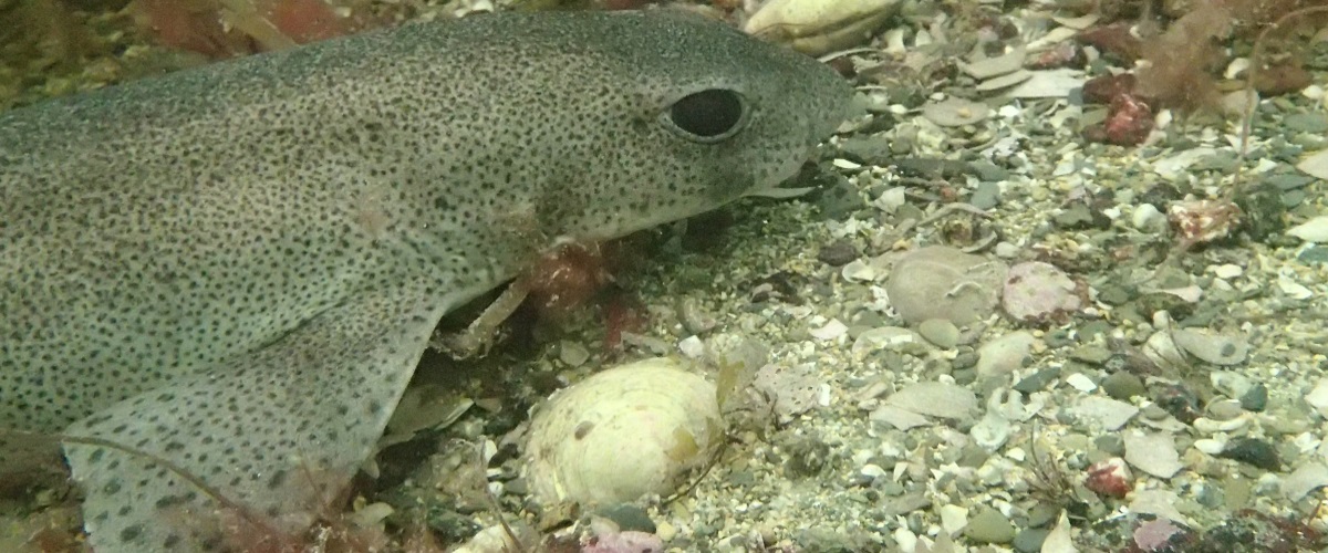
COLLEGE ROCKS 1
Latitude: 50 45.30 N
Longitude: 00 18.60 W
Distance: 5nm bearing 251T from BRIGHTON 4.4nm bearing 214T from SHOREHAM, South West of Worthing. A chalk ledge. Depth: 18m
LEDGES 1
Latitude: 50 48.00 N
Longitude: 00 09.90 W
Distance: 2.6nm bearing 261T from BRIGHTON 3.1nm bearing 116T from SHOREHAM
Depth: 8 – 15m
Height: 2m
Dive details: Shallow reef/drift dive. Underwater cliff line with escarpment face to north. Area of scrub along the bottom and fissures across the top
KINGSWEST LEDGES / ROCKS
Latitude: 50 47.90 N
Longitude: 00 08.50 W
Distance: 1.5nm bearing 250T from BRIGHTON 4.2nm bearing 110T from SHOREHAM
Depth: 15m
Height: 2m
Dive details: Underwater cliff line with escarpment face to north. Chalk ledge with an abundance of marine life. Area of scrub along the bottom and fissures across the top.
LOOE GATE
Latitude: 50 47.70 N Longitude: 00 11.60 W
Distance: 3.5nm bearing 257T from BRIGHTON 2.6nm bearing 131T from SHOREHAM
Depth: 15m
Height: 3m
Dive details: A chalk reef running parallel to the shore but with the escarpment face towards the shore. There is a gap or gateway in the reef at this point which is where the name originates from. About 4km Southwest of Hove and near Brighton Palace Pier. It is recognized as a Sussex Marine Site of Nature Conservation Importance.
MESORS ROCKS
Latitude: 50 47.50 N
Longitude: 00 06.60 W
Distance: .8nm bearing 196T from BRIGHTON 5.4nm bearing 109T from SHOREHAM
Depth: 15m
Height: 3m
Dive details: Large slab like rocky outcrop. About 200 yards long petering away to nothing at each end.
MULBERRY (FAR)
Latitude: 50 44.70 N
Longitude: 00 42.20 W
Distance: 23.0nm bearing 260T from BRIGHTON 2.3nm bearing 219T from BOGNOR SLIP
Depth: 10m
Height: 5m
Dive details: Artificial reef but could equally be described as a wreck site. Its a phoenix unit that never made it across the channel in WW2. It now forms an artificial reef attracting masses of fish life.
MULBERRY (NEAR)
Latitude: 50 45.60 N
Longitude: 00 43.60 W
Distance: 23.8nm bearing 263T from BRIGHTON 2.6nm bearing 249T from BOGNOR SLIP
Depth: 5m
Height: 6m
Dive details: Artificial reef – Recognized as a historic Scheduled Monument (specifically units destined for Normandy after D-Day).
OUTER JENNIES
Latitude: 50 49.00 N
Longitude: 00 12.60 W
Distance: 4.1nm bearing 279T from BRIGHTON 1.4nm bearing 104T from SHOREHAM
Depth: 10m
Height: 1m
Dive details: Offshore from the Portslade/Shoreham coastline about 800m out. This is an area of rough ground and rocky outcrops plenty of fish and marine life – The outer reef holds historical significance with traces of old ship and dredger wreckage, including artifacts like pulley wheels and soundings.
PALACE PIER REEF 1
Latitude: 50 47.90 N
Longitude: 00 05.40 W
Distance: .7nm bearing 133T from BRIGHTON 6.1nm bearing 104T from SHOREHAM
Depth:10m
Height: 1m
Dive details: a continuous chalk reef system (connecting with formations like Looe Gate), rising 1 to 4 meters high. Lots of fish, in the rocks and crevices you will find Wrasse and Crabs.
PALACE PIER REEF 2
Latitude: 50 47.90 N
Longitude: 00 08.30 W
Distance: 1.4nm bearing 249T from BRIGHTON 4.3nm bearing 110T from SHOREHAM
Depth: 10m
Height: 2m
Dive details: See Palace Pier 1 – One of the short underwater cliff lines, with escarpment face to the north, scrub along the bottom and rocky fissures across the top.
PALACE PIER ROCKS
Latitude:
Longitude:
Distance:
Depth: 7m
Height: 2m
Dive details: Local nearshore chalk ledge. Chalky outcrops of rock, good for lobsters. Choose a day when it’s calm and the visibility is good inshore. About 50-100 yards off the end of Palace pier in SE direction.
ROCK TOW
Latitude: 50 47.80 N
Longitude: 00 08.40 W
Distance: 1.4nm bearing 252T from BRIGHTON 4.3nm bearing 109T from SHOREHAM
Depth: 13m
Height: 3m
Dive details: There is a lot of interesting ground all round here. There is one large rocky outcrop, with large slab-like boulders, giving way to scrub ground to the north and west. A good drift starts here on a westerly flow.
SOUTHWEST ROCKS
Latitude: 50 47.50 N
Longitude: 00 12.50 W
Distance: 4.1nm bearing 257T from BRIGHTON 2.3nm bearing 144T from SHOREHAM
Depth: 15m
Height: 2m
Dive details: Underwater cliff line, with escarpment face to the north. Area of scrub along the bottom and rocky fissures across the top. A unique underwater chalk formation stretching across Sussex to the South West and South East from Palace Pier parallel to the shore.
SOUTHWEST ROCKS EAST
Latitude: 50 47.90 N Longitude: 00 09.80 W
Distance: 2.2nm bearing 260T from BRIGHTON 3.4nm bearing 113T from SHOREHAM
Depth: 15m
Height: 2m
Dive details: – See South West Rocks above – Underwater cliff line, with escarpment face to the north. Area of scrub along the bottom and rocky fissures across the top.
SOUTHWEST ROCKS WEST
Latitude: 50 47.40 N Longitude: 00 12.40 W
Distance: 2.3nm bearing 260T from BRIGHTON 3.4nm bearing 114T from SHOREHAM
Depth: 15m
Height: 2m Dive details: – See South West Rocks above – Underwater cliff line, with escarpment face to the north. Area of scrub along the bottom and rocky fissures across the top.